25
Years Of
Experience
Our Services
Mineral Treatment

Conduct research and development work on laboratory scale to determine suitable beneficiation techniques and treatment processes.
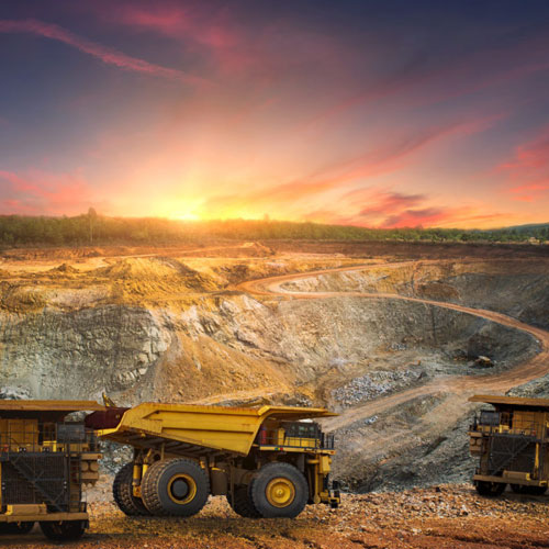
Provide complete commercial-scale solutions, including:
- Process design and selection of suitable machinery
- Fabrication, erection, and commissioning of the plant
- Achieving the desired grade and recovery levels
- Ensuring Zero Liquid Discharge
- Risk and hazard management
- Obtaining all statutory clearances, including environmental clearance
Carry out pilot-scale studies on bulk samples (10–20 metric tons) to establish commercial feasibility, process amenability, recovery rates, and cost–benefit analysis.
OUR SERVICES
ABM Industry Services
AADHI BOOMI MINING AND ENVIRO TECH (P) LTD, a QCI/NABET Accredited EIA Consultant Organization having it’s Registered and Corporate Office at Salem and Branch office at Porur, Chennai were promoted by a team of professional Geologists\Mining\Environment\Civil\Mechanical\ Information Technology\ Computer\ Chemical Engineers\Scientists. The company has vast experience in various disciplines including Exploration and mining of minerals and was incorporated in 2002 in the name of Suriya Mining Services providing expert advice and solutions for clients’ requirement in the field of Mineral prospecting, Exploration, Mining, Geo-technical, Techno economical Feasibility reports\evaluation, Mineral Engineering, Environment Impact Assessment (EIA), Environment Management Plan (EMP), Environment Monitoring and related liaison jobs like Environment Clearance, Wild life and Forest.
EIA & EMP
EIA & EMP for all accredited sectors and Monitoring as per SPCB/CPCB/MoEF CC.
Environment Clearance
Environment/ Wild life/ CRZ/ Forest Clearance
Social Impact Analysis
Social Impact Analysis (SIA) and Eco-Biodiversity studies for Mine Closure Plan
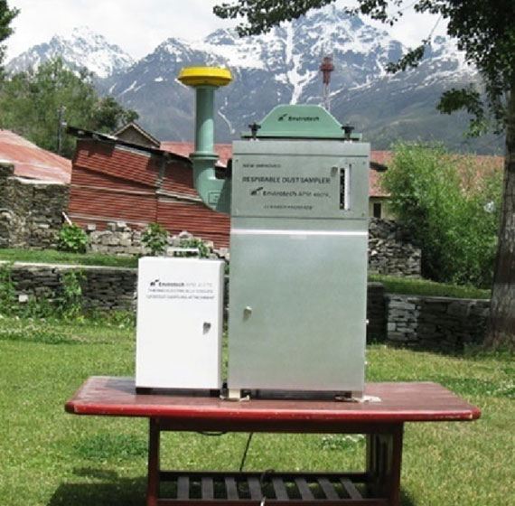
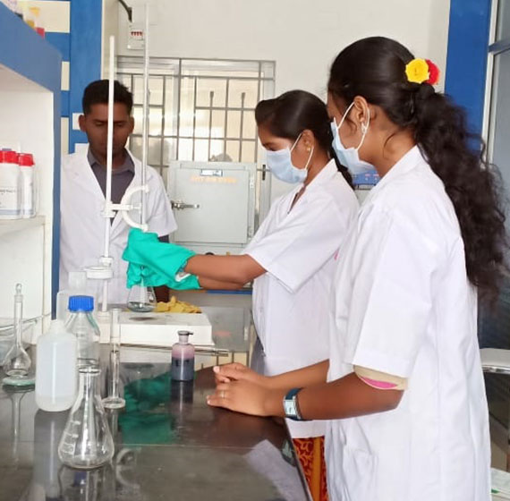
Laboratory services
Laboratory services Chemical testing for Rock, Ore and Mineral Analysis, Petrographic optical mineralogy studies, Environmental parameters like Air, all types of water, Soil, Noise and Microbiological testing of microbes, food etc.
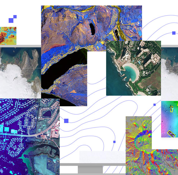
Remote Sensing
Remote Sensing & GIS including Satellite data processing, ASTER, DEM etc for application in Forest, Agriculture, Disaster, Mineral Exploration, Environment Modelling, Town planning etc.
Drone and Photogrammetry
Drone and Photogrammetry for Mapping and Aerial surveying, conversion of Raster into Vector plans, 2D Ortho photo mosaics, 3D videos, DEM, DTM, volumetric estimation, stock assessment etc.

OBJECTIVE AND SERVICES
Objective&Services
Company’s primary Business are Professional Hi-tech Drone Surveying, mapping Mining Plan and Environmental Consulting Services.
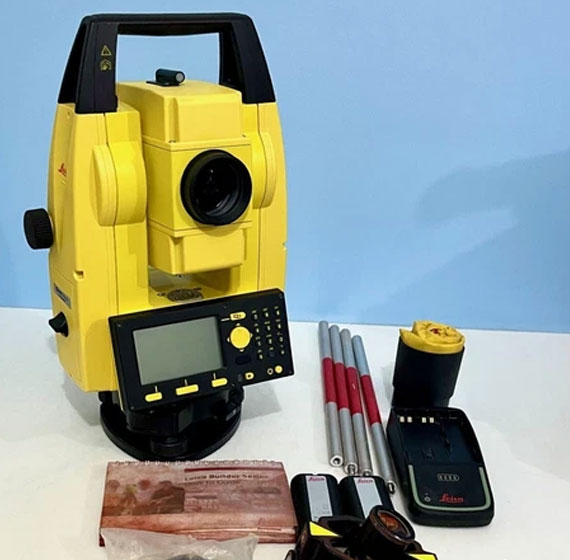
Drone and Photogrammetry
Drone and Photogrammetry for Mapping and Aerial surveying, other than their conventional ground measurements with a total station and GNSS RTK for mining sector including Sand Mining Guidelines, 2020. Conversion of Raster into Vector plans, 2D Ortho photo mosaics, 3D videos, DEM, DTM, volumetric estimation, stock assessment etc.